

Data, Mapped to make better decisions.
Location intelligence, reality capture and GIS analysis – turning survey-grade data into information your whole project can use.
Our geospatial team brings together surveyors, reality-capture specialists, sub-surface tracing, GIS analysts and digital workflow experts. One team, capturing and managing spatial information across the full life of a project.
Everything Happens here.
Geospatial is the discipline of capturing, managing and making sense of information tied to a place. It brings together the right technologies to capture data, the workflows to manage it, and the analysis to visualise it – in two, three, and even four dimensions.
At McKenzie & Co that means a single team spanning survey, reality capture, GIS and digital information management, so the data behind your project stays connected from field to final decision.
SURVEYORS | REALITY CAPTURE | SUB-SURFACE TRACING | GIS ANALYSTS | WORKFLOW AUTOMATION | DIGITAL INFORMATION MANAGEMENT
How our Geospatial
Team Works
CAPTURE
Capture the right information correctly, right from the start of a project.
MANAGE
Manage that information cleanly as the project moves and grows.
ANALYSE
Analyse and interpret it, so it supports genuinely informed decisions.
DELIVER
Get it to the right people at the right time, in a form they can use.
VISUALISE
Visualise it to improve communication across the team, partners and public.
ADVISE
Advisory on best practice, spatial strategy and digital asset management.
From Raw Capture to Living Dataset
Well-structured data is the foundation of successful delivery, evidence-based decisions and future insight.
Here is how our spatial services break down.
Geospatial data management
Bringing historical records into the present – digitising and centralising old record plans and data, and building the workflows that keep new data flowing in cleanly as your project progresses.
Geospatial technologies
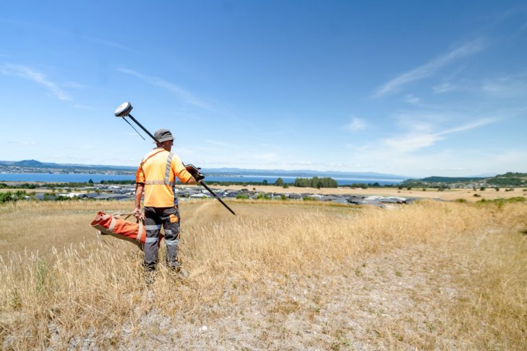
Combining LiDAR, laser scanning, photogrammetry, 360° imagery and digital surveying with sub-surface utility capture, to build a complete, accurate picture of a site above and below ground.
Spatial planning & analysis
Data manipulation and conversion, multi-criteria analysis and flood assessment – turning layers of information into clear answers about what a site can support and where the constraints sit.
Spatial modelling & visualisation
2D and 3D web viewers, traditional mapping and live dashboards that make complex information easy to read — for your team, your stakeholders and the public.
Geospatial Services –
The power of location
intelligence.
We build data capture and analysis workflows using the tools your industry relies on, so your spatial information is portable, standards-based and ready to hand on.
From reality-capture scanning of buildings and sites through to interactive dashboards, our technology turns measurement into something everyone on a project can use.
-ESRI ArcGIS Online
-QGIS
-LiDAR
-Laser scanning
-Photogrammetry
-360° imagery
Talk to the Team

Auckland
Principal - Head of Geospatial Advisory

Get in touch to see how we can help.
Surveyors, engineers and planners work side by side, so your assessment is joined up - not stitched together from separate consultants.
90 specialists across seven offices, with the local council and site knowledge that only comes from years on the land.
Clear findings and honest recommendations in plain language - not a report you need a translator to read.